Geographic Information Technology

Geographic Information Technology Bachelor of Arts (B.A.) Degree Geography

About Geographic Information Technology

Prepare for a top career in current and emerging occupations.

Gain a competitive edge at PennWest California, where you'll build a strong foundation in the specialized fields of geographic information system (GIS) and technology in our comprehensive Bachelor of Arts in Geography degree program.  The U.S. Department of Labor has named geospatial technology as a high-growth industry.

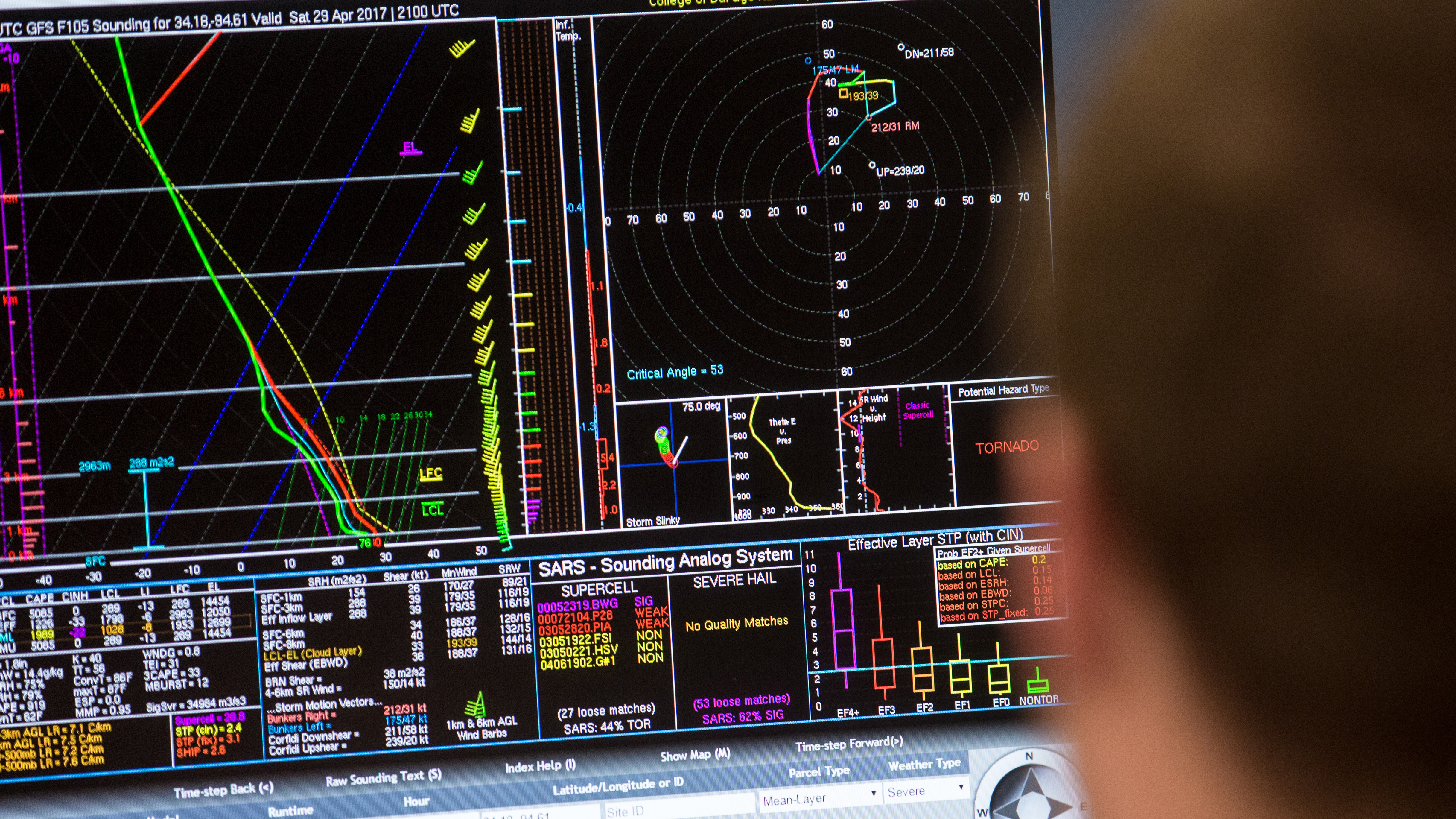
The Geographic Information Technology concentration provides a basic grounding in geospatial concepts and techniques. Students complete courses combining geographic knowledge with advanced technological information in remote sensing, hazards research and advanced geographic information systems.

Gain a career advantage with PennWest California's highly respected, hands-on program.

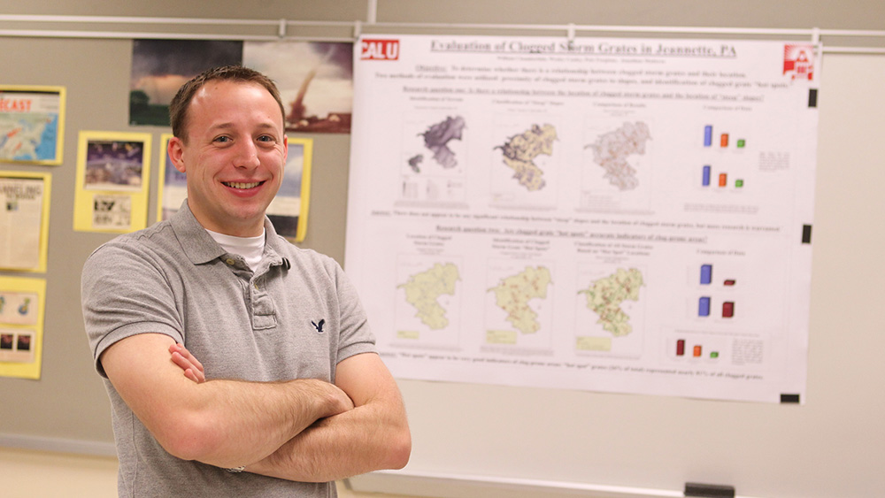
The B.A. in Geography program enables you to develop skills through the traditional lecture/discussion format, as well as with hands-on experience. The concentration in GIS and emergency management prepares students for continued studies in graduate school or employment in government and private planning, geobusiness positions in private industry, emergency management positions, or positions with humanitarian relief  and disaster management organizations, FEMA, USAID, and the Department of Homeland Security.

The program certifies students in the Afghanistan Spatial Data Center. As a partner with ASDC, PennWest California teaches basic applied geography insights within a disaster management context, while students learn the global value of geographic information systems.

PROGRAM HIGHLIGHTS: GEOGRAPHIC INFORMATION TECHNOLOGY

Concentration: Geographic Information Technology students have access to the Peter J. Daley Geotechnology Institute. This technological facility provides significant outreach, community service, service-based education and other programs in geospatial technology, such as regional planning, criminal justice,  location analytics, emergency management and humanitarian aid projects. 

Service focus: The GIS program is committed to service learning. In most of the upper-level courses students complete real-world projects for institutions in the community, providing students with exceptional advantages when entering the workforce.  Recently, the program completed service-learning projects for these organizations: Pennsylvania Department of Conservation and Natural Resources; Bethel Park Police Department; Washington County Department of Public Safety; Humanitarian OpenStreet Mapping; Haiti H2O: Hope to Opportunity; and the U.S. Agency for International Development (USAID).

Learn more about applying


19:1 
Student-to-faculty ratio at PennWest California.
120 
Credit hours for the bachelor's degree in geography with Geographic Information Technology which can be completed in eight semesters or four years.
Degree icon.

Degree Benefits

 The B.A. in Geography degree is part of the Department of Earth Sciences, which is committed to the practical advancement of knowledge, to serving the local, national and world community, and to the education of Earth scientists. As a student studying geography, you will have ample opportunities to work with modern technologies, software, databases and field methods. In addition to traditional courses, fieldwork courses will connect you to practical experiences. As a PennWest California graduate, you'll be ready for a professional career or for graduate school.


Cap icon.

Graduate Outcomes

Applying geographic information systems to topics in emergency management will enable you to develop applied skills in both of these increasingly interrelated career paths. You'll build skills vital for employment in GIS or emergency management positions, and also be prepared for potential employment in land use analysis, homeland security, environmental studies, crime mapping, Earth sciences, transportation studies, marketing and retailing, recreational planning, and military and governmental service. GIS is one of the fastest growing fields of employment.


Geography (B.A.) GIS and Emergency Management Concentration
A GIS student models on a computer.

Unique Facilities

As part of PennWest California's commitment to classroom and extracurricular excellence, the Geographic Information Technology program offers students exclusive use of top-notch equipment, resources and facilities. The Tourism and Geography Instructional Facility, within the Department of Earth Sciences, provides a state-of-the-art facility for research and instruction with the latest equipment and software available in this field of study. The PennWest California Mapping Center is an innovative facility that includes the latest computers with cutting-edge GIS, sub-meter accuracy GPS units and remote sensing software, advancing technological skills that are currently in high demand. Students participate in research projects and laboratory work, gaining experience beyond classroom lectures and discussion.

Thomas Mueller teachers a GIS class.

Faculty Expertise

Faculty member Dr. Thomas R. Mueller focuses on applying spatial theory to the real world, using GIS, and he includes service learning in his geography courses. Recently, he worked with the International Organization for Migration - The UN Migration Agency to create educational materials so that teachers and professors can use the Displacement Tracking Matrix in their classrooms. The matrix is a system for tracking and monitoring population mobility – a useful tool for generating key information about the movement of migrants or refugees after a conflict or natural disaster, for example. Mueller’s work is featured in publications and conference presentations. He also has taught numerous GIS workshops for members of the local community, professors at PennWest California and other campuses, and for the K-12 community.

A GIS student presents research.

Student Resources

Students are strongly encouraged to complete internships to apply classroom theory to realistic, professional-level situations in preparation for career opportunities. Students also can turn to PennWest California's Career and Professional Development Center for help connecting to potential employers through networking events, job shadowing opportunities, on-campus recruiting, job and internship fairs, and organizational visits. Students who meet eligibility requirements can become members of Gamma Theta Upsilon (GTU), the international honor society in geography.


B.A., Geography Courses Geographic Information Technology Concentration

Students complete various courses in the field of geography, while specializing in GIS and emergency management.

Course Examples
  • Introduction To Geography
  • Demographic Analysis
  • CrimeMapping And Spatial Analysis
  • Natural Hazards
  • Geographic InformationSystems
  • Emergency Management
  • Site Designs And Management
  • Remote Sensing Of The Environment
  • Developing The Master Plan
  • Spatial Land Data In The Oil And Gas Industry

B.A., Geography - Concentration and Minors

Concentrations
  • Tourism Studies Concentration : A program accredited by the World Tourism Organization's TedQual (Tourism Education Quality) certification system that provides a strong foundation in tourism planning, resources and impacts.
Minors
  • Minor in GIS and Emergency Management: A 21-credit minor that includes the fundamentals of geographic information systems and emergency management.
  • Minor in Tourism Studies: An 18-credit (minimum) minor that includes the basics of tourism planning, resources and impacts.
  • Minor in Event Planning and Management: An 18-credit, interdisciplinary minor focused on organizing and implementing events from small board meetings or destination weddings to international conferences and trade shows.